Jagiellonian Digital Library contains 907 749 digital objects
Object
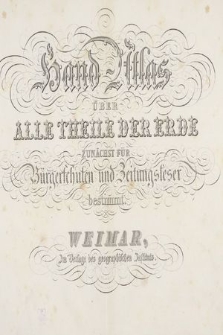
Title: Hand-Atlas über alle Theile der Erde : zunächst für Bürgerschulen und Zeitungsleserbestimmt
Title version:
Publisher:
Geographisches Institut (Weimar)
Place of publication/creation:
Scale:
Source:
Biblioteka Jagiellońska, BJ Kartogr. 236 IV Atlasy
Digital copy identifier:
Coverage:
Language:
Rights:
Domena publiczna (public domain)
Location of original document:
Computer Catalogue:
Format:
Resource Identifier:
Sponsorship:
Object collections:
- Jagiellonian Digital Library > Type of library materials > Cartography
- Jagiellonian Digital Library > Type of library materials > Cartography > Atlases
- Jagiellonian Digital Library > Projects > Patrimonium
Last modified:
Jan 31, 2023
In our library since:
Jul 13, 2018
Number of object content hits:
107
All available object's versions:
https://jbc.bj.uj.edu.pl/publication/401962
Show description in RDF format:
Show description in OAI-PMH format:
Objects Similar
Kruse, Christian (1753-1827)
Kozenn, Blasius (1821-1871) Haardt von Hartenthurn, Vinzenz von (1843-1914). Oprac. Schmidt, Wilhelm (1843- ). Oprac. Gustawicz, Bronisław (1852-1916). Oprac.
Stülpnagel, Friedrich von (1786-1865). Oprac. Petermann, August (1822-1878). Oprac. Berghaus, Hermann (1828-1890). Oprac. Stieler, Adolf (1775-1836). Red.


